Clones to Clogher Ancient Route
Clones Community Forum and Clogher Community Village Forum were inspired to explore the possibility of an ancient route between Clones and Clogher following a Blog by Barney Devine, a former Field Monument Warden for a government department and active in community-led archaeology and heritage.
In his Blog Barney described discovering a roughly hewn stone cross near Dernawilt crossroads. ‘Simply carved with short arms, and standing about 1.2 metres high … Defying gravity, it leaned at a jaunty 45 degrees over a steep overgrown bank and an abandoned laneway, which fell away on both sides through heavy undergrowth and overarching trees. The official record suggested it was Early Christian and may have been a way-marker on a route from Clones across Sliabh Beagh’.
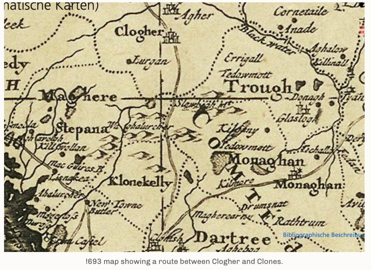
Original 1693 Map of Clones – Clogher Ancient Route
Researched Map Clones – Clogher Route with way markers
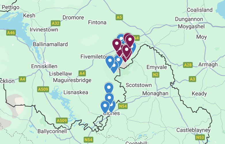
Researched Ancient Pilgrim Route
Background to the Ancient Route and research
10 March Ancient Route workshop with Barney Devine
Clones and Clogher Forum and landowners met with Barney Devine to review the map and discuss the way markers and to explore other possible markers to help identify what may have been the original route.
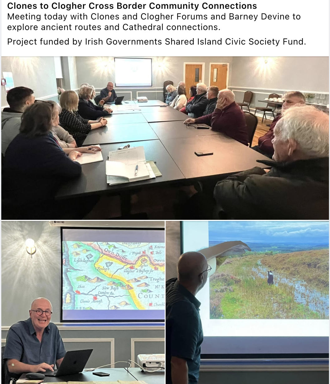
Following this workshop members of Clones and Clogher Forum took part in a meeting to plan a sit visit to explore the way makers and the route.
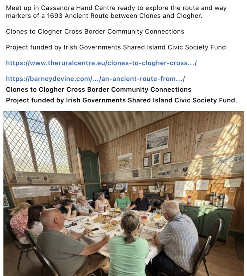
20 May Study Visit of the Ancient Route
both Forum then visited the way markers found by Barney Devine and met the landowners. They also explored possible routes that pilgrims would have taken between Clones and Clogher.
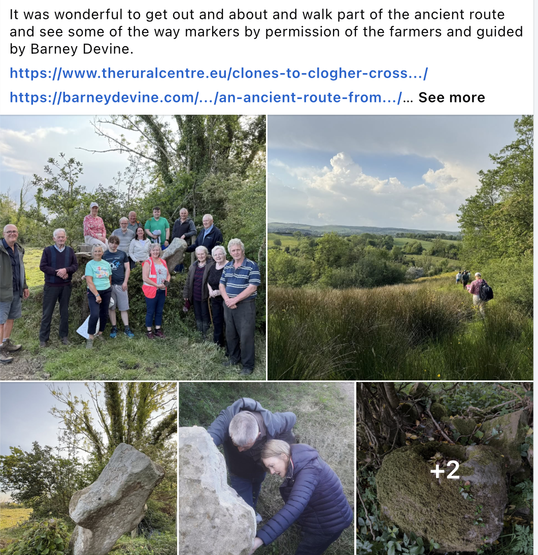
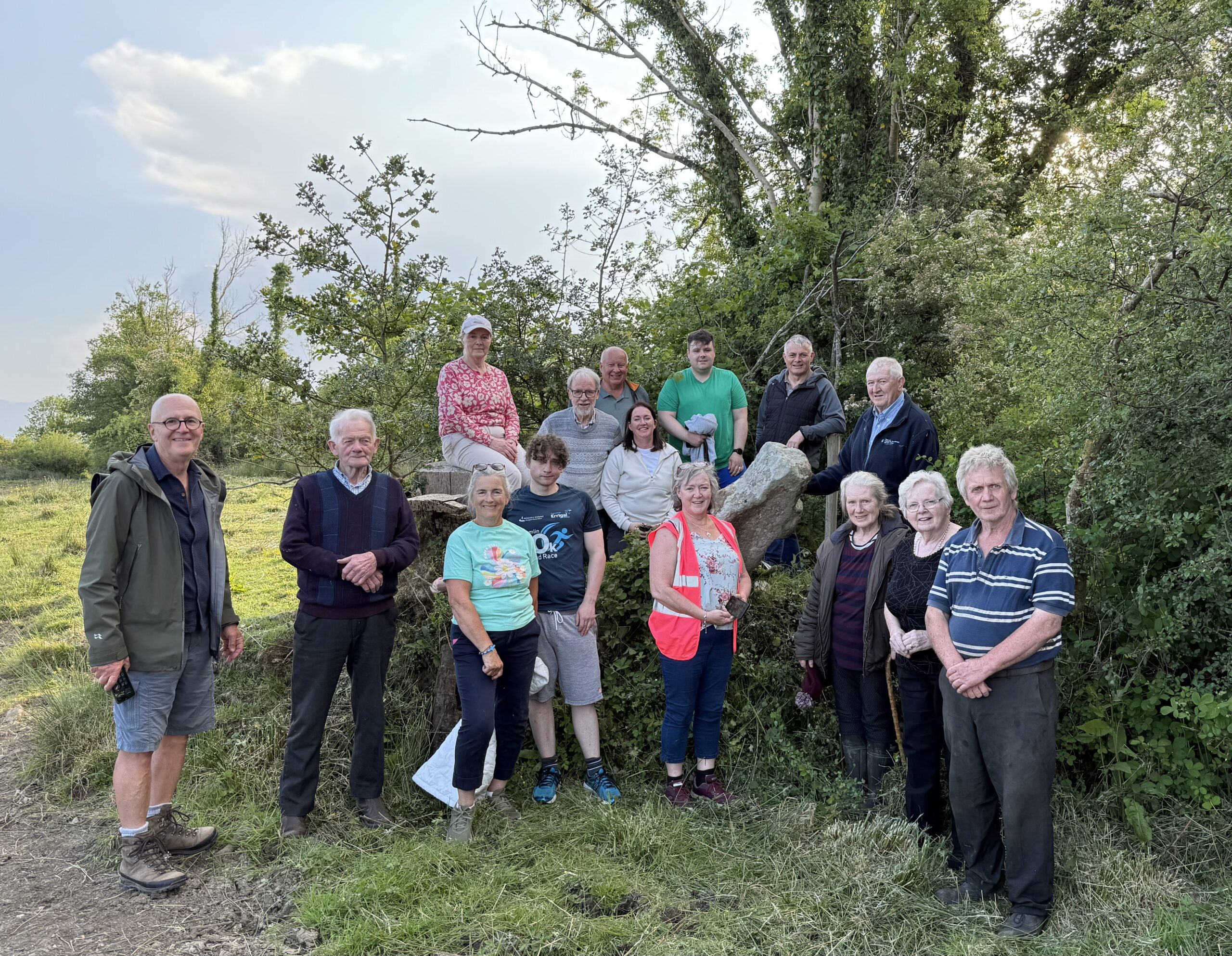
Drumbroughas Cross. Photo Heather McLaughlin
Barney also visited ‘an Early Christian and Medieval ecclesiastical site at Glennoo near Mullaghfad, six miles north of Drumbroughas Cross…. with remnants of a church, graveyard, children’s burial ground and bullaun stone’ It is understood this site was consecrated by St Tigernach of Clones.
Barney believed the official notes hinted it may have been located on a routeway
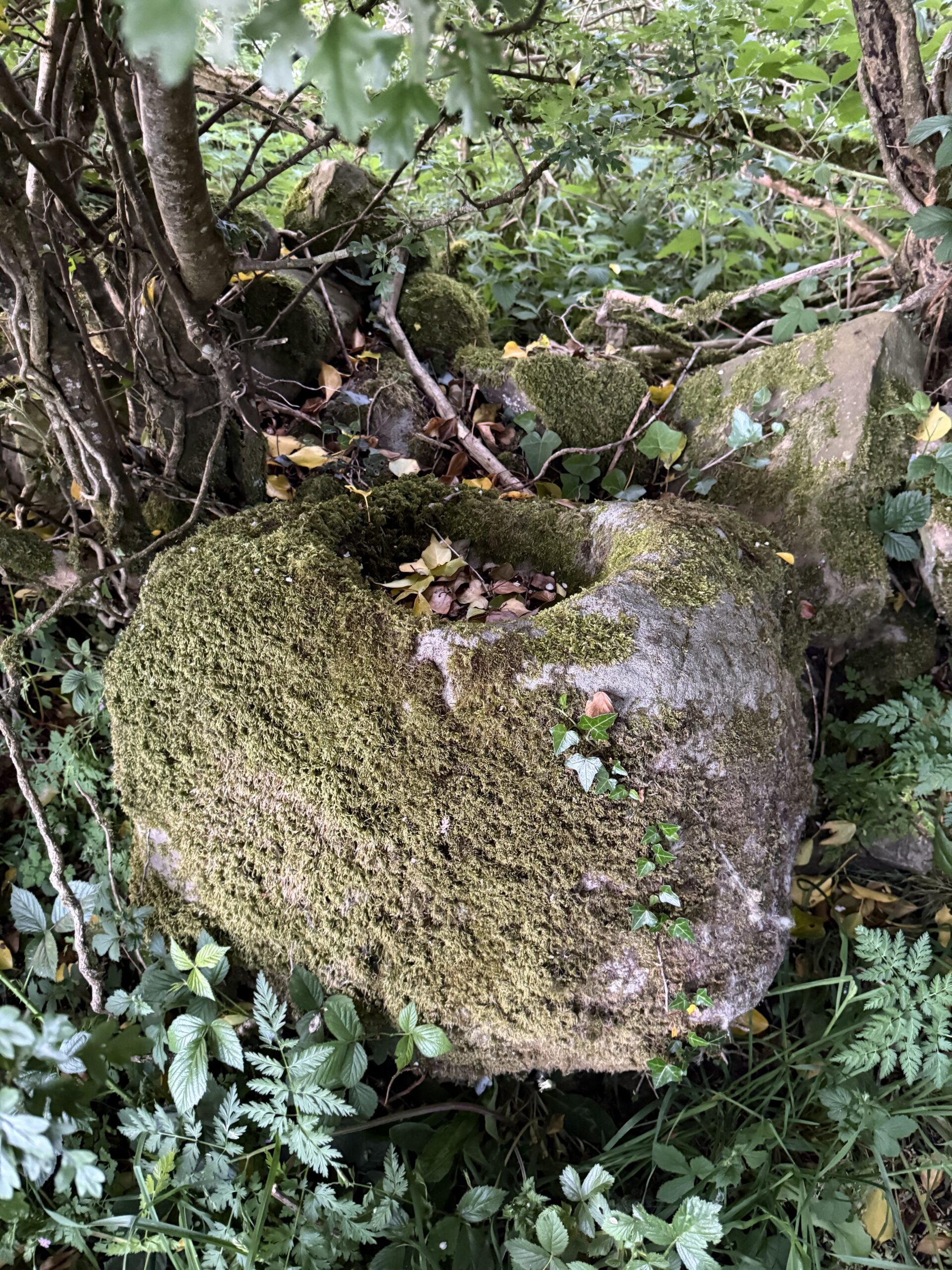
Bullaun next to the ancient church. Photo Heather McLaughlin
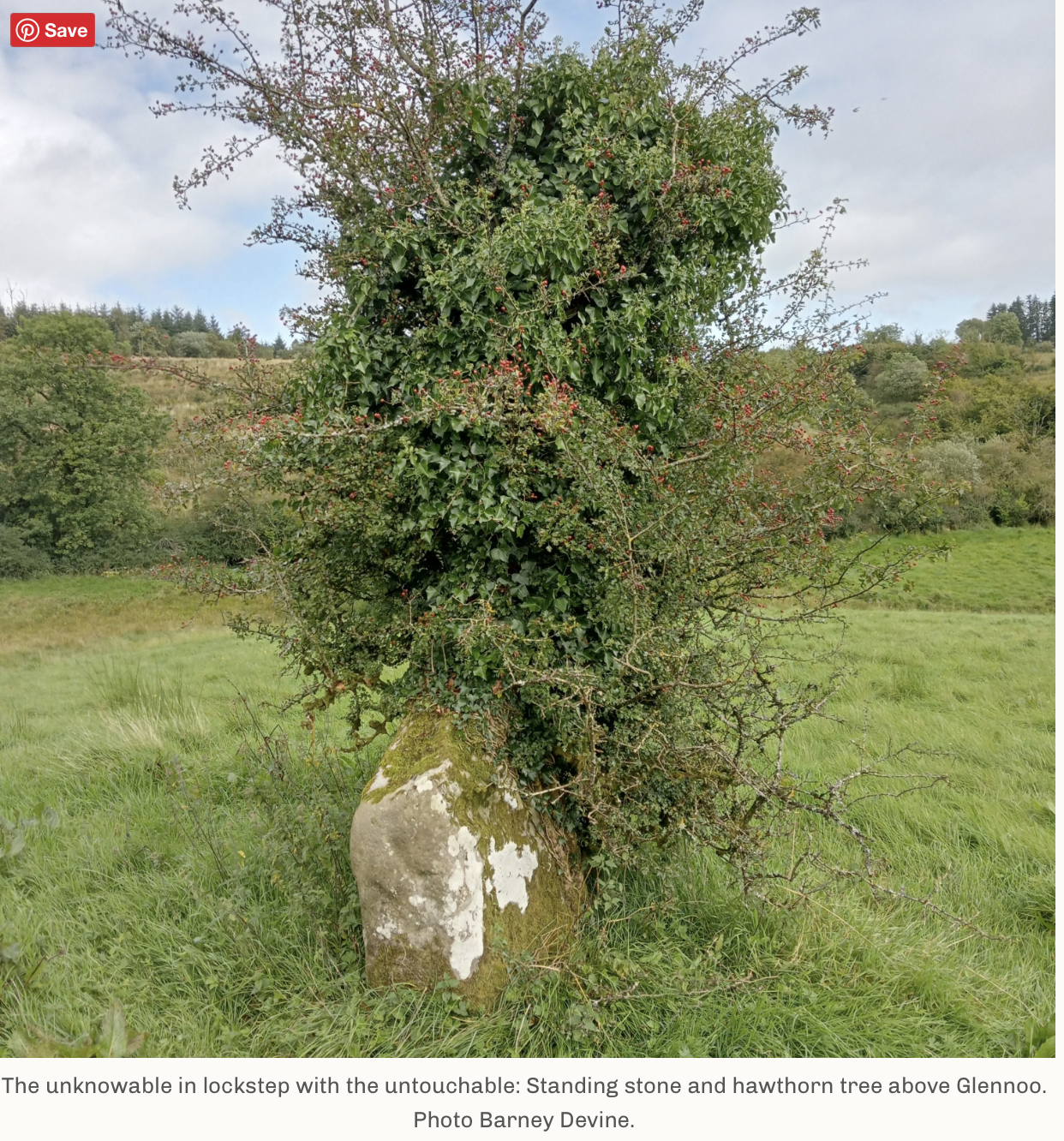
‘On the ridgeline of a nearby hill to the north was a field-centred Bronze Age Standing Stone, its ancient bowl-shaped hollows partially hidden by the embrace of a lone hawthorn tree’.
This could be another way marker on a route linking Clones to Clogher. ‘As Clogher provided hostel accommodation for Lough Derg pilgrims I fancied that the route might also be a feeder to a wider network’
A few months later Barney came across a 1693 map showing an outline route between Clones and Clogher. ‘A Medieval occupation site had recently been uncovered during an archaeological dig on the laneway below the Cross at Aghadrumsee GAA pitch’
Laneways, minor roads, forest trails and old settlements hinted at a possible route between Clones and Clogher.
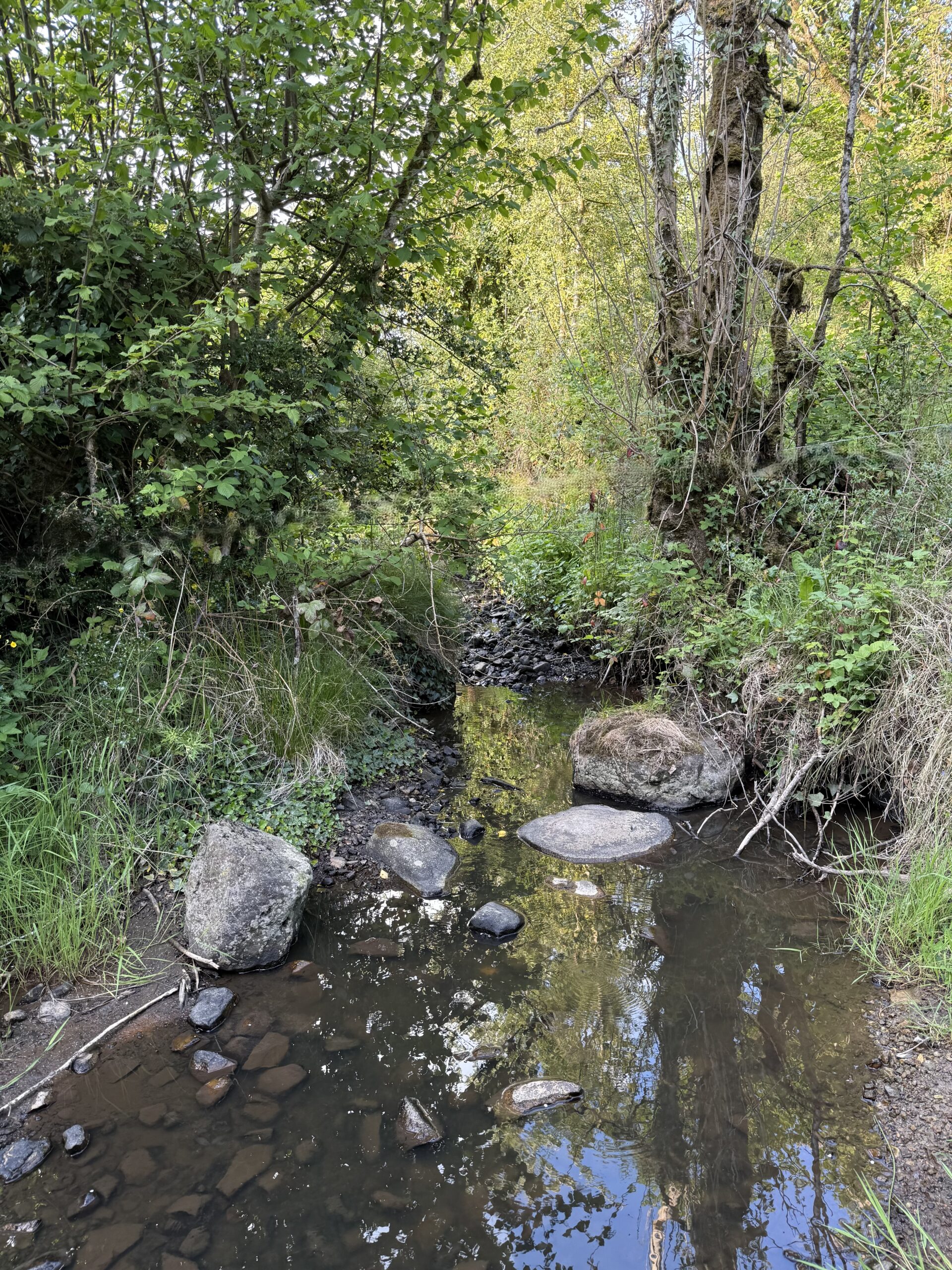
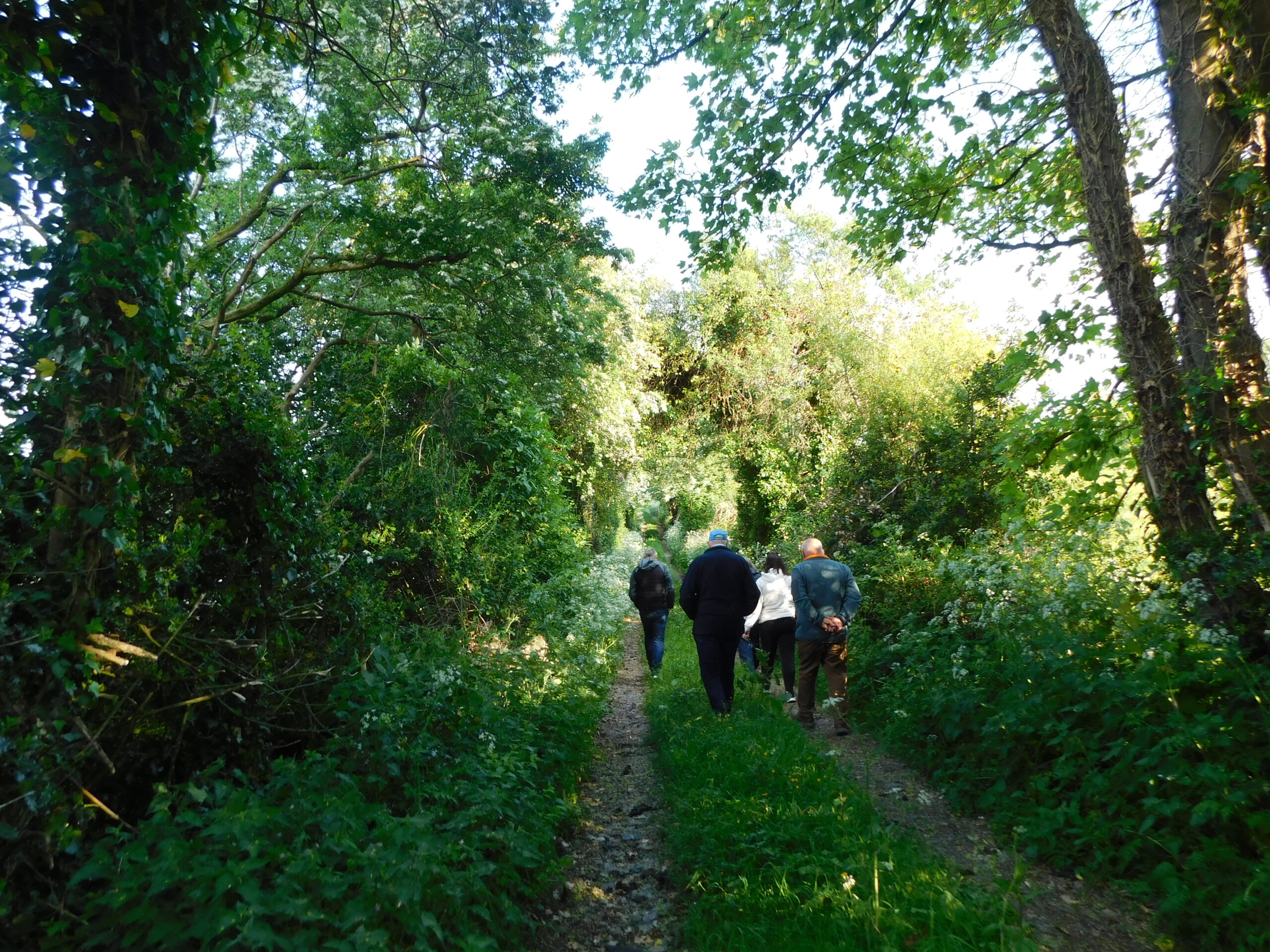
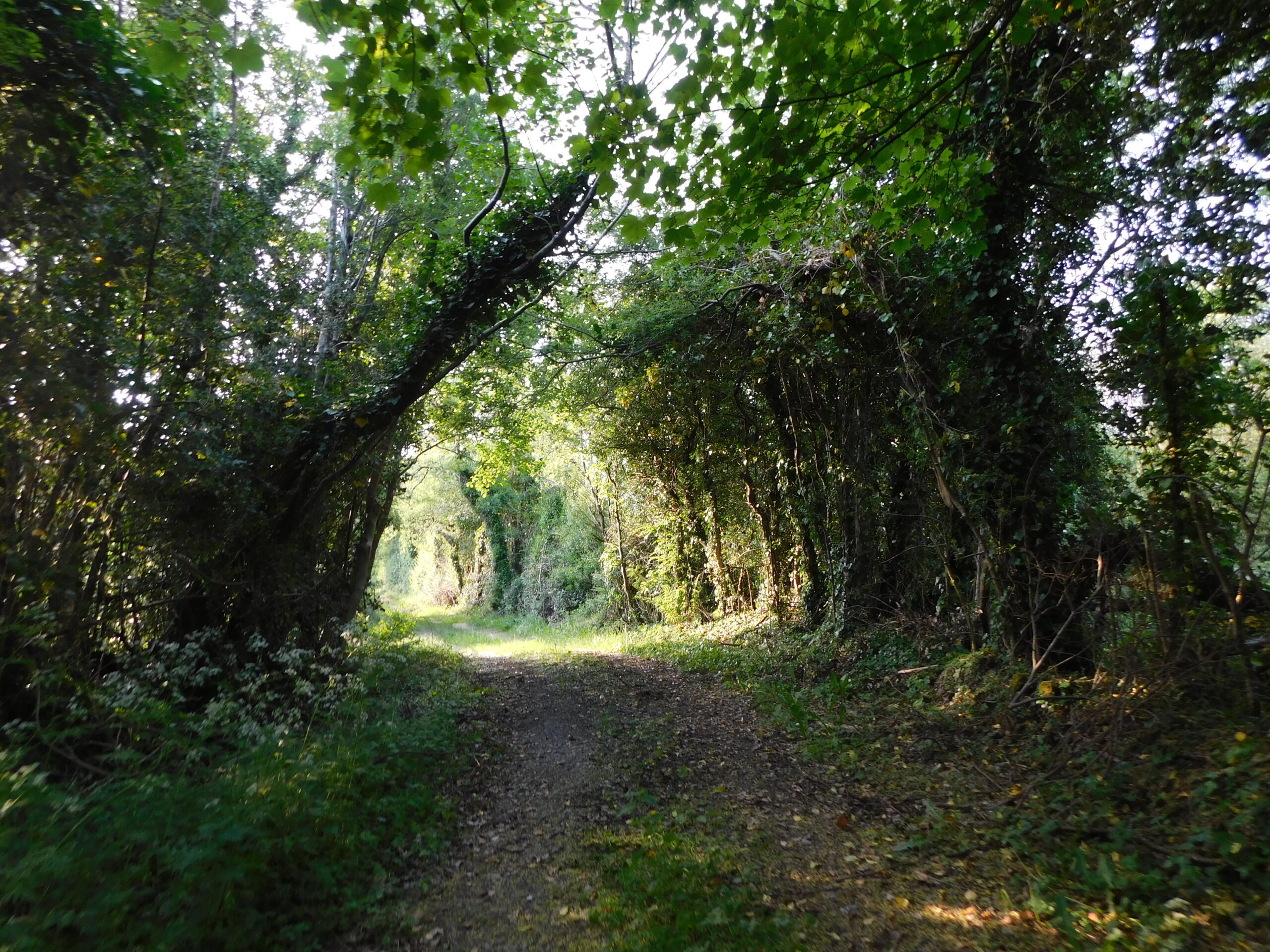
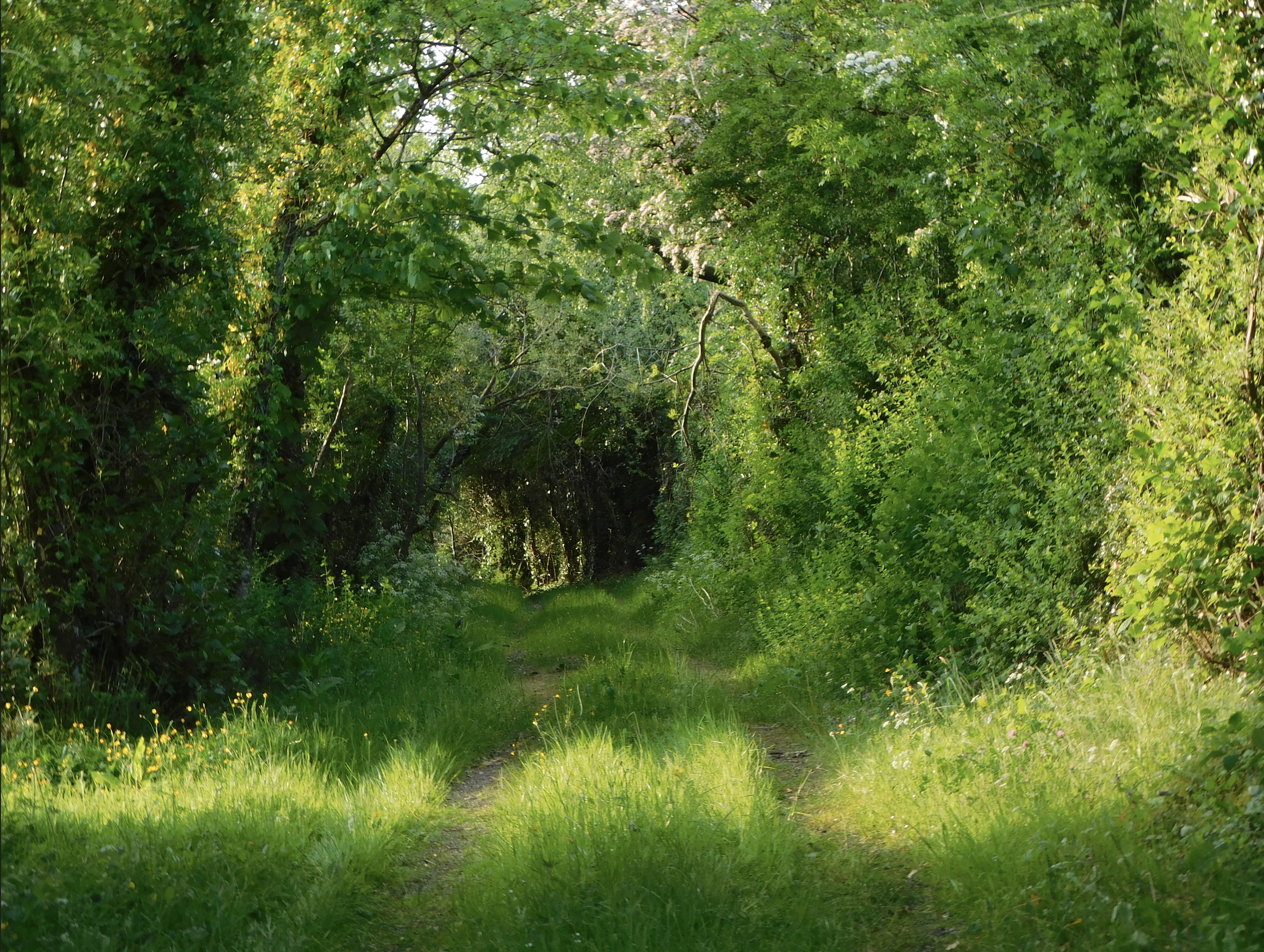
Sliabh Beagh. Photo Heather McLaughlin
A bog road beyond the Bronze Age Standing Stone and hawthorn tree Barney had visited previously, led up onto the gently rising slopes of Glennoo and Fardross Mountains beneath the western flanks of Sliabh Beagh, before dropping down in a straight line to Clogher.
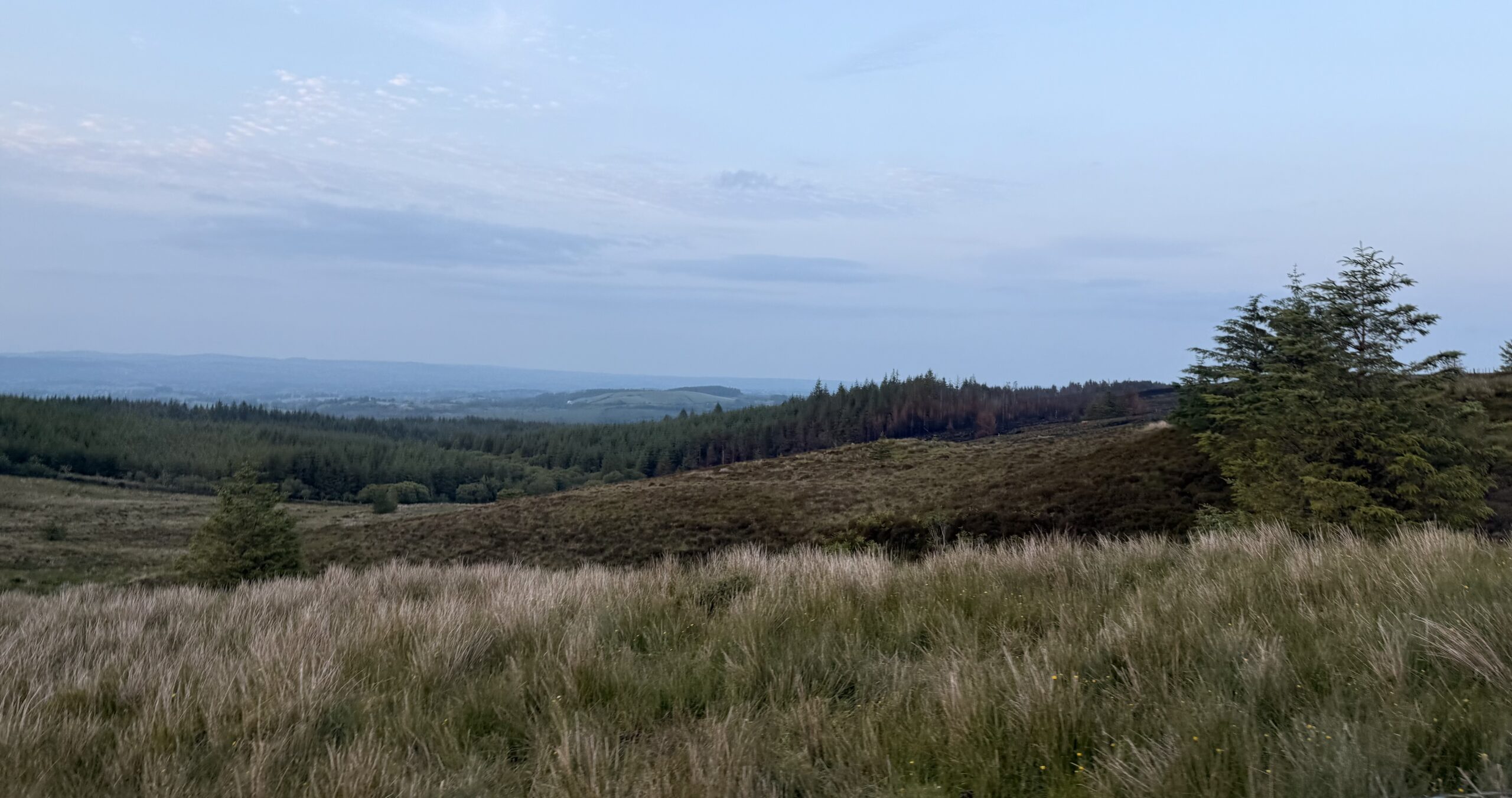
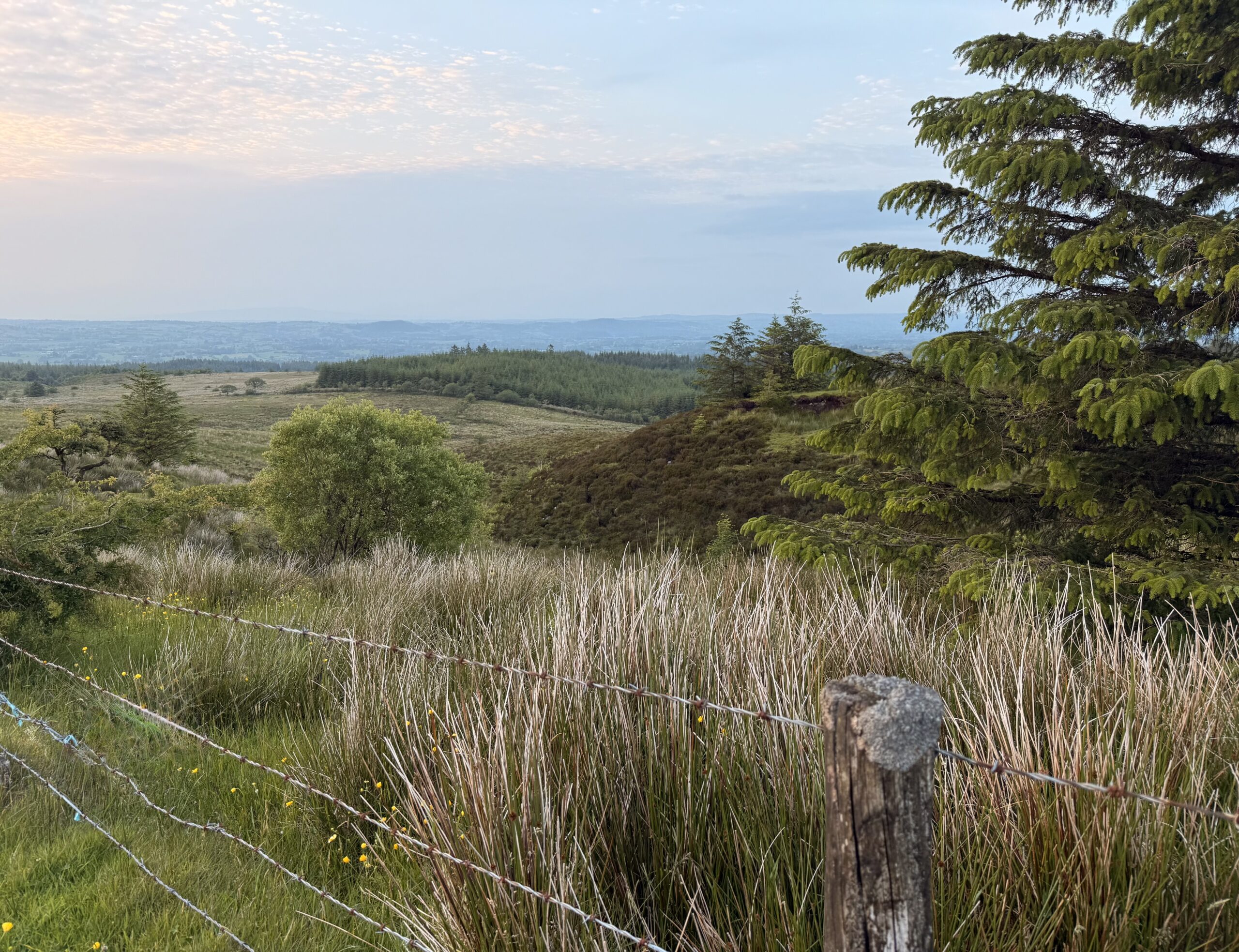
Sleabh Beagh. Photo heather McLaughlin
Following the site visit of the Clones to Clogher Ancient Route and way markers both Forum carried our research to identify a possible route and other way markers.
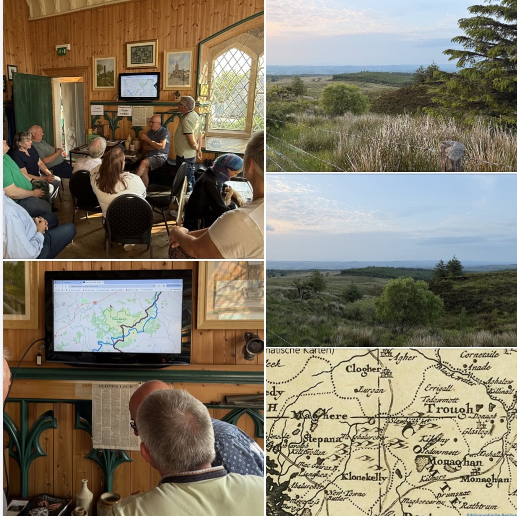
10 June 2025 Workshop to feedback on the Ancient Route Study Visit
Clones and Clogher Forum met to give feedback from the sites visit of the Ancient Route and to share their findings to plan a route that followed the original 1693 map but provided public access. Clogher Forum members then drive the route to see how accessible to was as a driving route.
19 August 2025
As part of National Heritage week Clones and Clogher Forum gave a talk and update on what they believe is the pathway of the Ancient Route initially researched by Barney Devine.
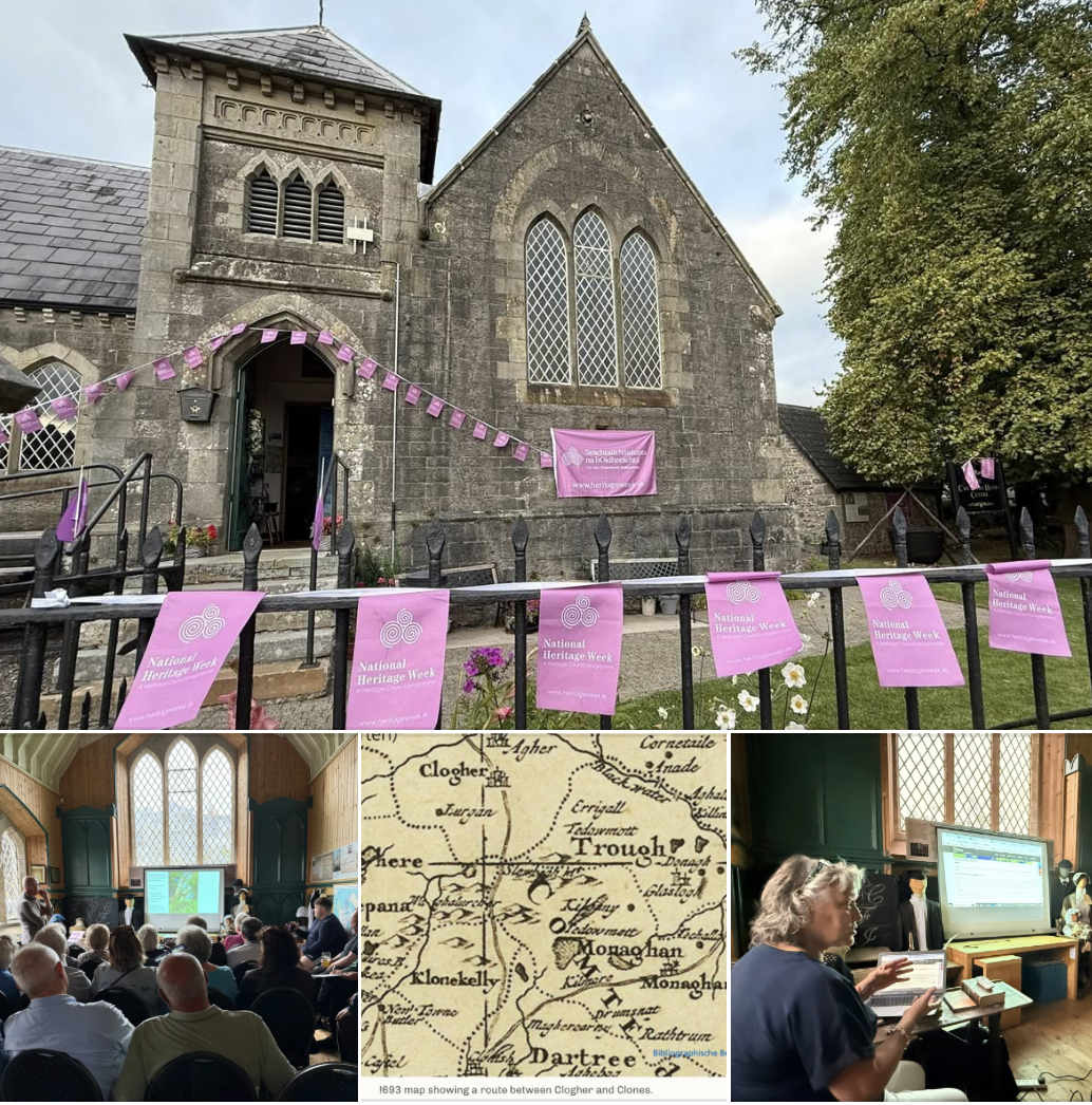
Clones Community Forum and Clogher Community Village Forum aim to carry out further research of the ancient 1693 ancient route to produce an information leaflet with revised map plotting the route, any other way markers and sites of interest. The aim to to explore the potential for redevelopment of the route for walking/ riding/ driving.